Duration of Course:
- Two Semesters of 6 months each
Areas Covered:
1st Semester
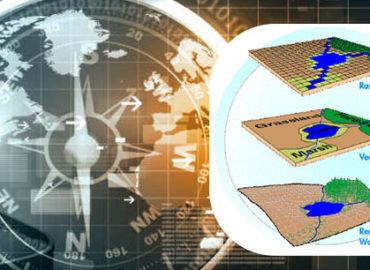
- Geographic Information System
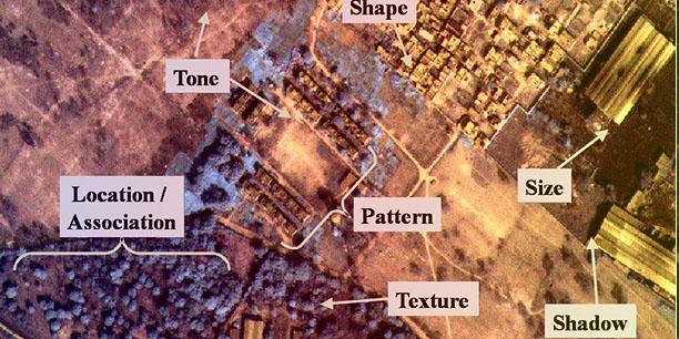
- Principles of Remote Sensing & Image Interpretation
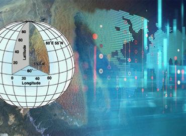
- Cartography and Geodesy
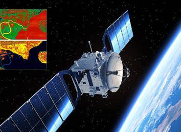
- Advance Techniques in Remote Sensing
2nd Semester
- Photogrammetry and Global Positioning System
- Digital Image Processing
- Spatial Analysis and Decision Support System
- Project


